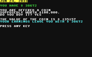
Commodore 64
Community Rating: 3.80 Total Votes: 43
Care to put your virtual money where your virtual mouth is? Make a series of pass/fail wagers and find just how...
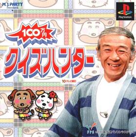
Sony Playstation
Community Rating: 3.61 Total Votes: 18
100 Manyen Quiz Hunter is a Playstation quiz game based on a 30 minutes Japanese TV Show of the same name produced...
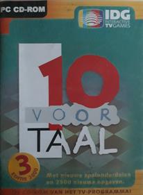
Windows
Community Rating: 3.33 Total Votes: 3
With this third edition of the Tien voor Taal CD-ROM, you can also test your language skills, just like the...
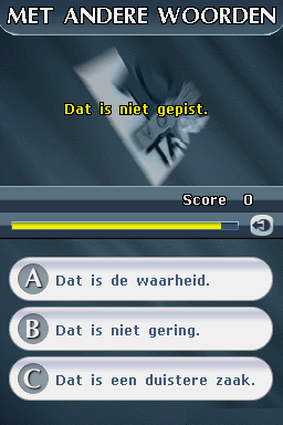
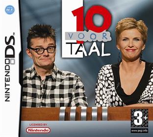
Nintendo DS
Community Rating: 3.65 Total Votes: 13
For many years, the '10 for Language 'game show in the Netherlands and Flanders has become a real crowd puller,...
Philips CD-i
Community Rating: 3.71 Total Votes: 21
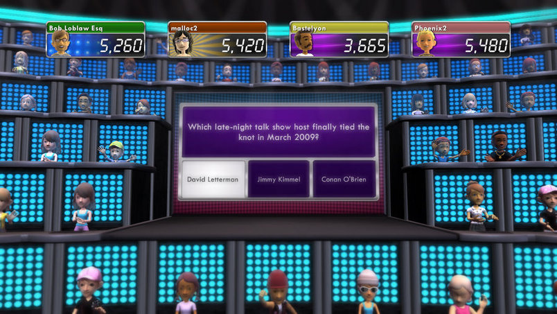
Microsoft Xbox 360
Community Rating: 3.38 Total Votes: 9
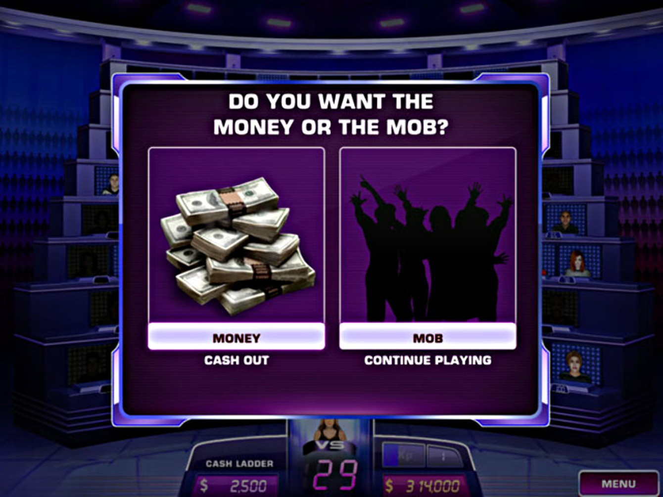
1 vs. 100 was a massively multiplayer online game show video game developed and published by Microsoft Game Studios...
Community Rating: 2.89 Total Votes: 41
1 vs. 100 puts you in the hot seat as you play against 100 mob members! Answer the questions correctly and...
Sony PSP Minis
Community Rating: 3.42 Total Votes: 68
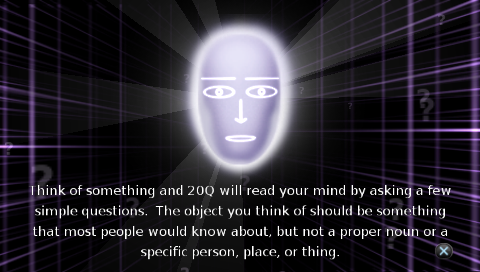
Think of something, and 20Q® will read your mind by asking a few simple questions. The object you think of should...
Community Rating: None Total Votes: 0
Are YOU a GENIUS? Experience a world of exotic trivia! Play with classic to present questions in this thrilling...
Sega Saturn
Community Rating: 3.06 Total Votes: 27
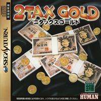
2Tax Gold is a quiz game with a comedy theme. Unlike many quiz games, each question only has two choices, and the...
Sega Genesis
Community Rating: 2.92 Total Votes: 20
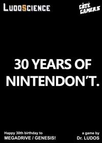
30 Years ago, in 1988, SEGA released the Megadrive home console in Japan. In 1989, the machine was released in the...
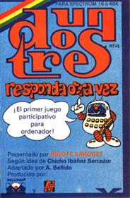
Sinclair ZX Spectrum
Community Rating: 3.71 Total Votes: 17
3–2–1 was a popular (and successful) British game show that was made by Yorkshire Television for ITV. It ran for...
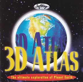
3D Atlas is an educational title which boasts 3D graphics on twelve different types of spinning globes, time lapse...
Community Rating: 5.00 Total Votes: 1
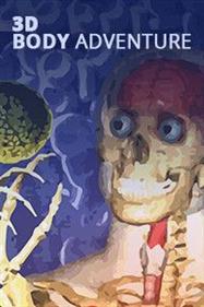
This game is an interactive adventure through the human body. You can zoom down the spinal column, watch blood...
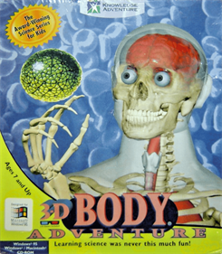
MS-DOS
Community Rating: 3.43 Total Votes: 15
3-D Body Adventure is a comprehensive human anatomy learning game. This program combines the most exciting games,...
Community Rating: 2.14 Total Votes: 7
3-K Trivia is a trivia game for up to six players. Each question round begins with a slot machine which randomly...
NEC PC-9801
Community Rating: 3.95 Total Votes: 11
A nameless otaku (which roughly corresponds to the English geek, albeit with a focused "nerdiness" in all things...
Community Rating: 4.67 Total Votes: 12
3 x 3 is a German language 3 round quiz game and was published in Input 64 1987/02. General knowledge is required...
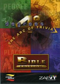
GameWave
Community Rating: 3.69 Total Votes: 29
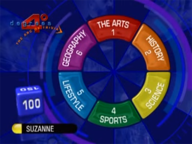
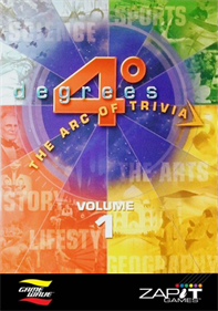
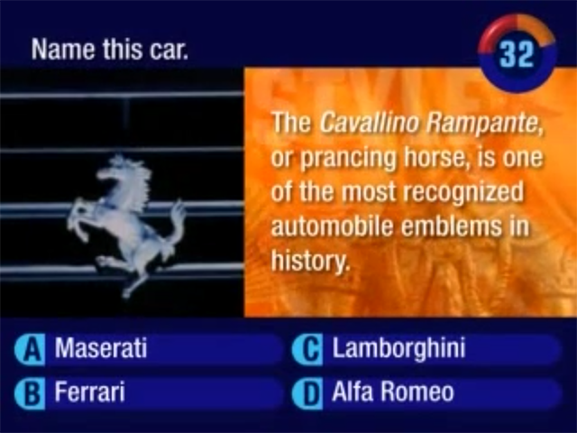
4 Degrees: The Arc of Trivia is a trivia game published by ZAPiT Games in 2005 as a pack-in game with the Game Wave...
Game Wave Family Entertainment System
Community Rating: 3.81 Total Votes: 8
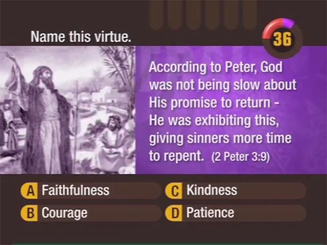
4 Degrees: The Arc of Trivia: Bible Edition is a trivia game published by ZAPiT Games that tests your knowledge of...
Community Rating: 3.83 Total Votes: 6
Community Rating: 3.94 Total Votes: 8
Community Rating: 4.08 Total Votes: 6
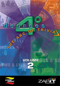
4 Degrees: The Arc of Trivia is a trivia game published by ZAPiT Games in 2006 as a pack-in game with the Game Wave...
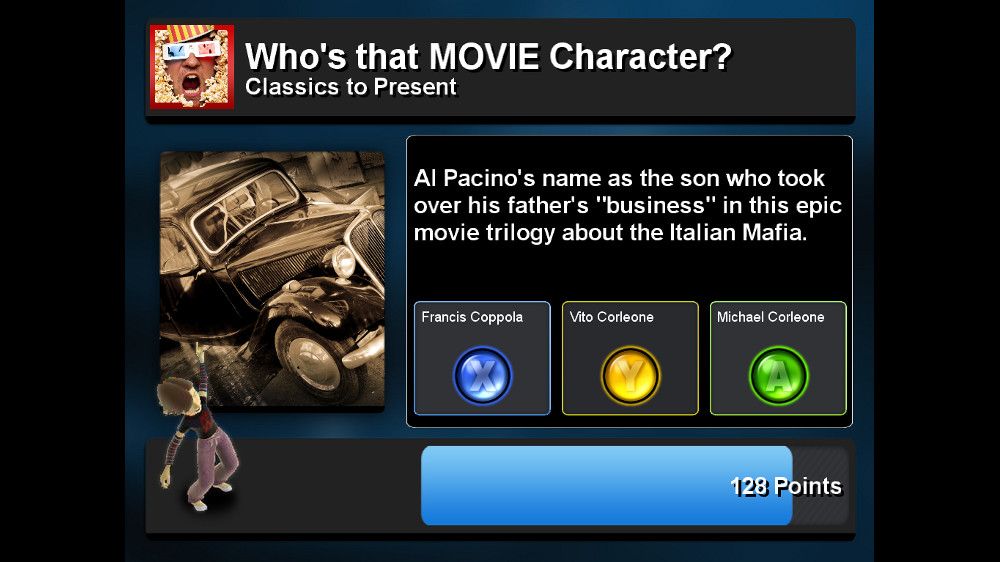
Want to be hailed the master of all media? Why not take the greatest trivia challenge ever! This isn’t exclusively...
Commodore Amiga
Community Rating: 4.75 Total Votes: 2
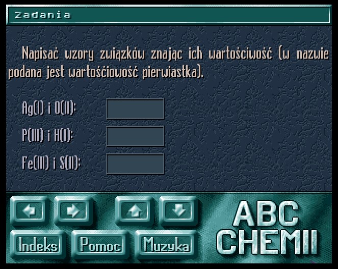
Educational program for learning chemistry. In addition to a large amount of didactic material in text and graphic...
Arcade
Community Rating: 4.24 Total Votes: 29
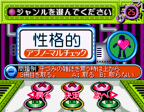
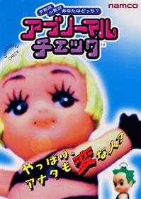
Abnormal Check is of Namco’s stranger games, a quiz game released exclusively in Japan in 1996.
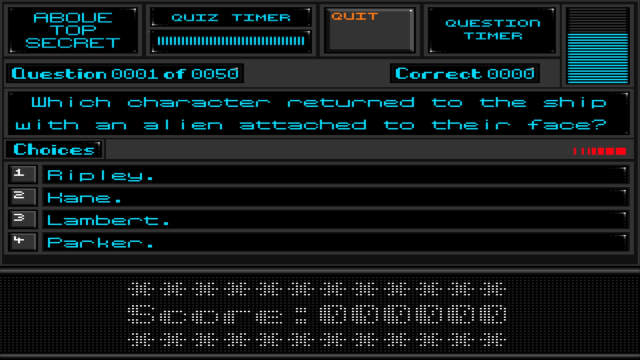
Above Top Secret is a quiz game, developed by Psyche and published by F1 Licenceware, which was released in 1997.
Community Rating: 3.42 Total Votes: 13
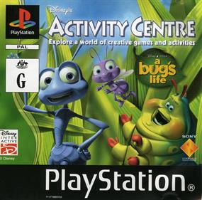
Laugh and play through the fun-filled world of A Bug's Life! In this exciting Activity Centre from Disney you can...
Community Rating: 2.33 Total Votes: 3
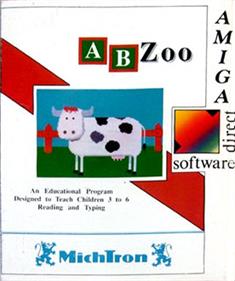
ABZoo is Educational game, developed by Excalibur Computing & Learning and published by Indi, which was released in...
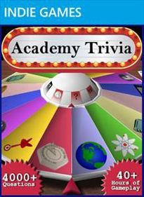
Academy Trivia is a trivia game with more than 4,000 questions that cover eight subjects. It also has a more...
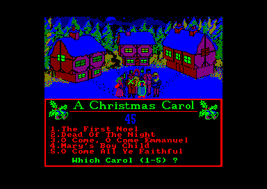
Amstrad CPC
This is an English-language musical quiz on Christmas carols. Listen to an excerpt from the carol, guess which...
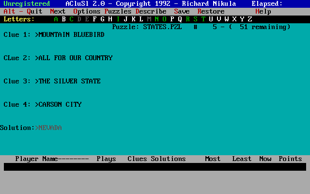
A Clue's Solution is a shareware puzzle game for one to four players, combining elements from popular game shows...
Sharp X68000
Community Rating: 2.93 Total Votes: 7
Advanced Ruumik Quiz is a single player trivia/quiz video game for X68000, created and published by Master Piece in...
Community Rating: 2.38 Total Votes: 4
Sequel to the original Advanced Ruumik Quiz game.
Community Rating: 3.44 Total Votes: 51
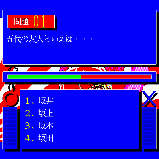
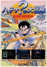
Adventure Quiz 2: Hatena? no Daibouken (アドベンチャークイズ2 ハテナ?の大冒険) is a quiz arcade game released in 1990. In 1992 it...
Community Rating: 2.81 Total Votes: 18
Adventure Quiz: Capcom World is a quiz game released in Japanese arcades in 1989. It was later ported to the PC...
Community Rating: 3.44 Total Votes: 70
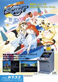
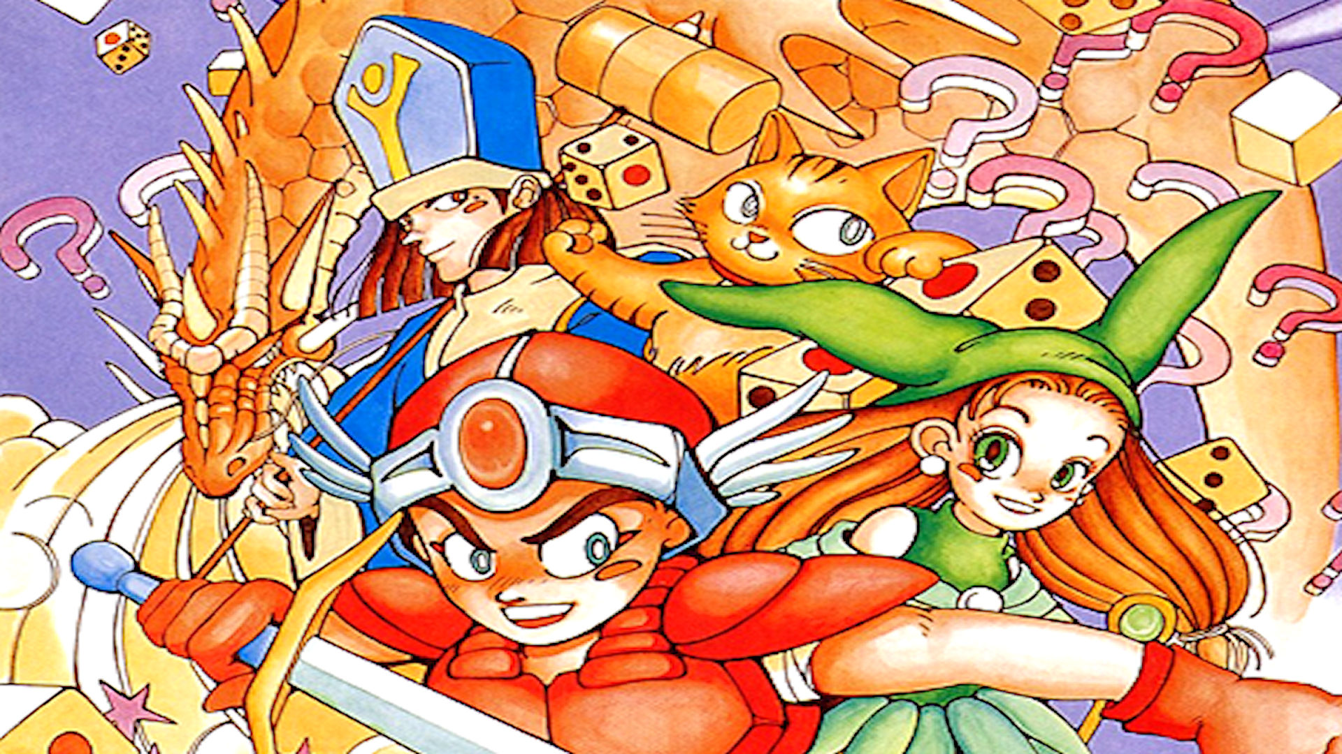
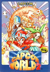
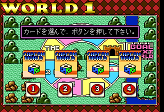
Adventure Quiz: Capcom World 2 (Japanese: アドベンチャークイズ カプコンワールド2) is a quiz game released in exclusively in Japan by...
NEC TurboGrafx-CD
Community Rating: 3.58 Total Votes: 19
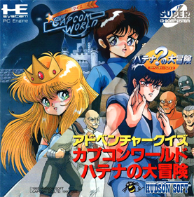
Adventure Quiz is a compilation of two games previously released on the arcades, Capcom World and Hatena? no...
Community Rating: 2.23 Total Votes: 11
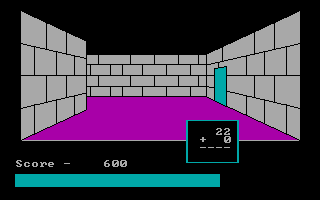
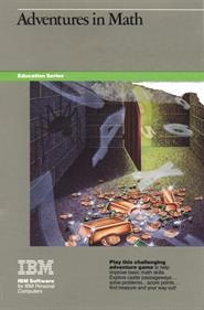
In Adventures in Math the player takes the role of a treasure hunter who explores a castle. The goal of the game is...
"From the Pine Tree state to the Golden gate, this program should appeal to anyone who wants to learn about the 50...
Community Rating: 4.60 Total Votes: 5
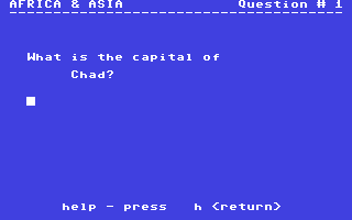
Africa & Asia is an educational quiz type game based on the continents of Africa and Asia, hence the name.
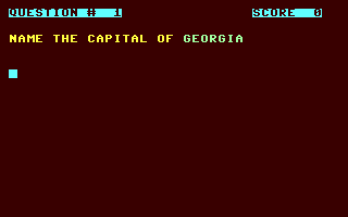
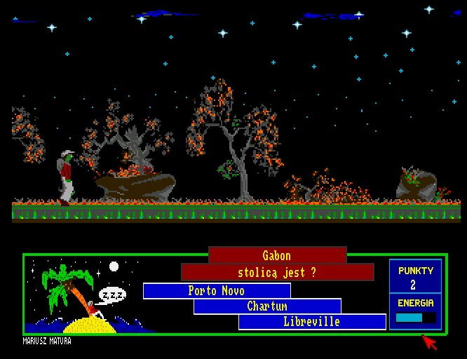
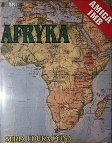
Afryka is an educational program that tests knowledge about Africa. The program consists of three parts, two...
Community Rating: 1.83 Total Votes: 4
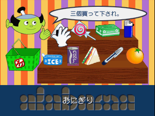
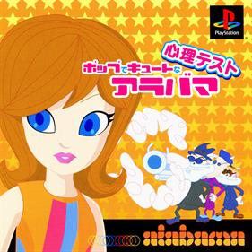
Alabama - Pop de Cute na Shinri Test is an interactive story game in which the player can watch an animated story...
Nintendo Wii
Community Rating: 3.33 Total Votes: 6
Hansen, with his considerable expertise and experience, is the natural choice to chair this sports-oriented quiz....
Algebra Plus is an introductory Algebra tutorial and practice program designed to be used in conjunction with a...
Windows 3.X
Community Rating: 3.88 Total Votes: 4
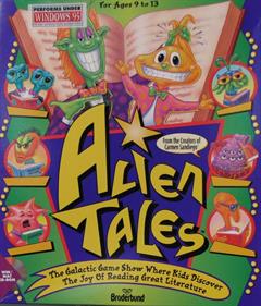
With more than 30 award-winning science-fiction novels as inspiration, this creative game gets kids into reading by...
Community Rating: 3.50 Total Votes: 2
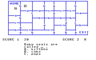
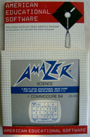
Answer these science and nature questions correctly and it will allow you to successfully navigate the maze and...
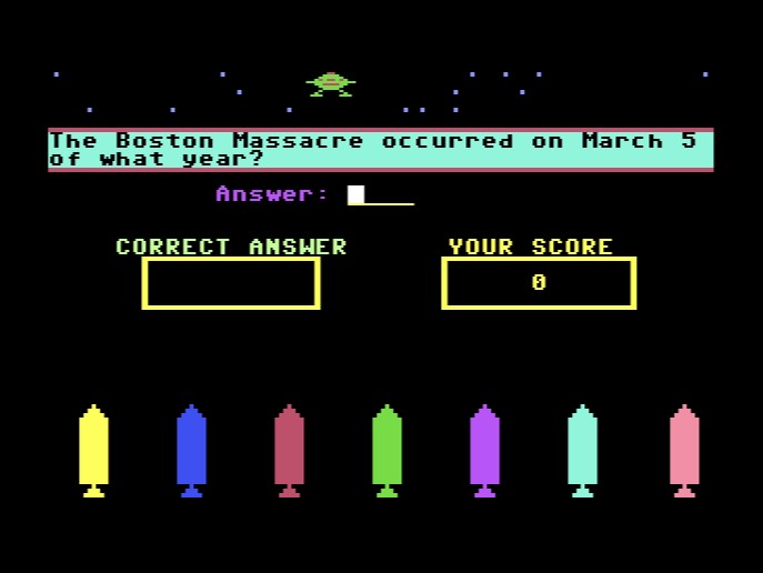
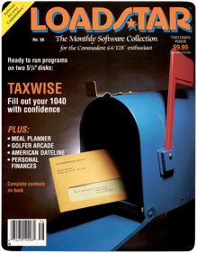
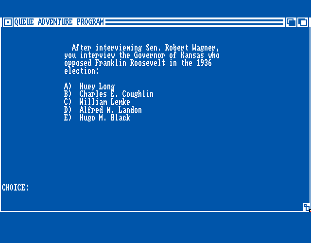
A history game focused on the United States, created by Roger Norton and released on Loadstar #056 in 1989.
Community Rating: 1.50 Total Votes: 1
American History Adventure is a text-based trivia game related to American history for multiple systems. The...
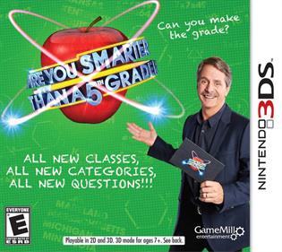
Nintendo 3DS
Community Rating: 3.00 Total Votes: 2
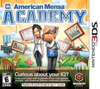
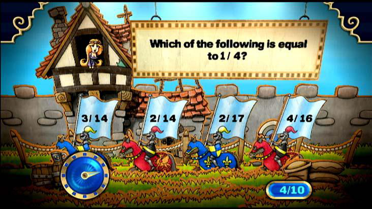
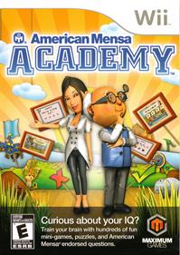
American Mensa Academy is a brain training game that will give player's minds the ultimate cerebral workout....
Community Rating: 2.86 Total Votes: 7
Think you’re smarter than your friends? Want to prove it!? Mensa Academy™ / American Mensa Academy™ provides...
Sony Playstation 3
Community Rating: 3.44 Total Votes: 8
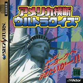
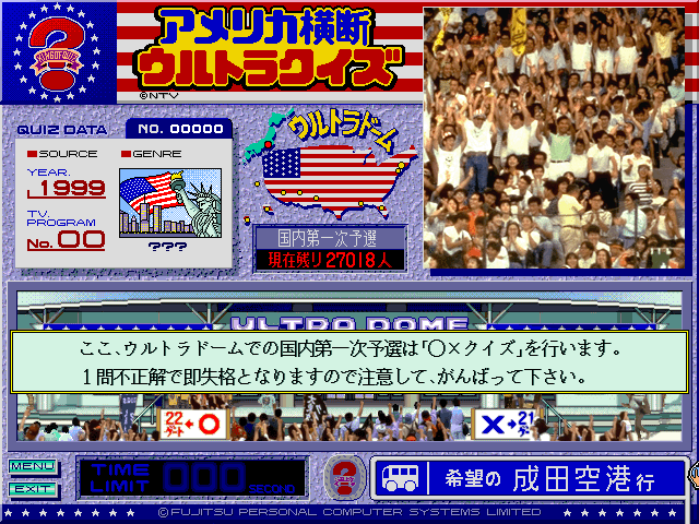
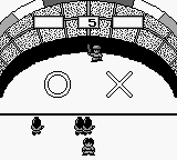
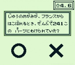
America Oudan Ultra Quiz is based on the Japanese TV show of the game name. Like the original show, the game...
Super Nintendo Entertainment System
Community Rating: 2.84 Total Votes: 20
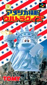
America Oudan Ultra Quiz is a quiz game that follows the formula of the TV game show Ultra Quiz, which originated...
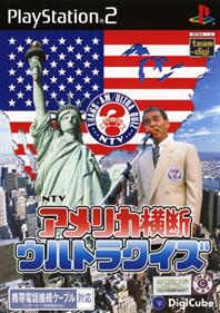
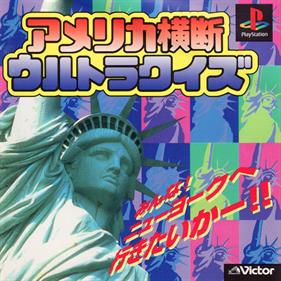
Sony Playstation 2
Community Rating: 3.90 Total Votes: 5
Fujitsu FM Towns Marty
Nintendo Game Boy
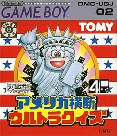
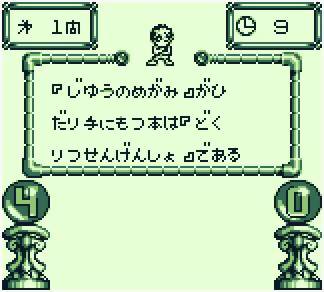
Community Rating: 3.19 Total Votes: 14
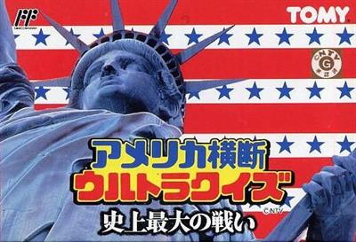
America Oudan Ultra Quiz is a Trivia game, published by Tomy Corporation, which was released in Japan in 1990.
Community Rating: 3.86 Total Votes: 7
America Oudan Ultra Quiz is a game based on a japanese TV quiz show. The game was released on Playstation and...
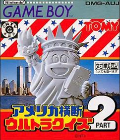
Community Rating: 3.05 Total Votes: 12
America Oudan Ultra Quiz Part 2 is a Trivia game, published by Tomy Corporation, which was released in Japan in...
Community Rating: 3.11 Total Votes: 11
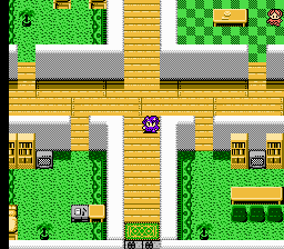
The content is basically the same as the Super Nintendo version "America Oudan Ultra Quiz" released at the same...
Community Rating: 2.39 Total Votes: 9
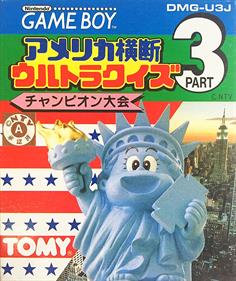
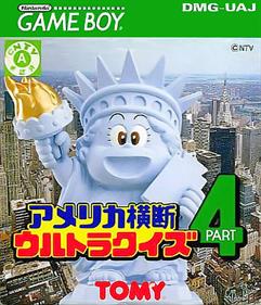
America Oudan Ultra Quiz Part 4 is a Trivia game, published by Tomy Corporation, which was released in Japan in...
Nintendo Entertainment System
Community Rating: 3.33 Total Votes: 14
This game has two modes: story and tournament. Tournament mode is the simpler one: you compete against seven...
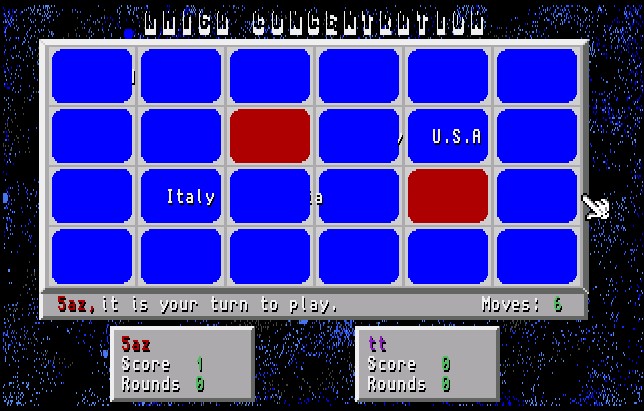
Amiga Concentration v3.3 is a shareware game created by Alan Keith, Heither Keith using AMOS and released in 1992....
Six programs for Swedish preschool or elementary school age children. A rich game compilation that combines both...
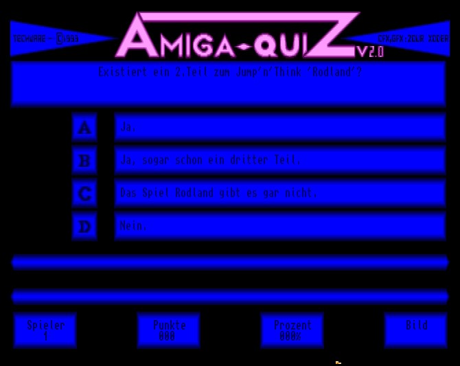
A shareware quiz developed and published by Techware in 1994. Wonderful German quiz program with tons of Amiga...
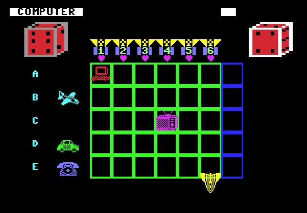
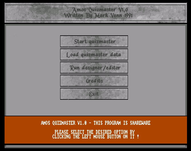
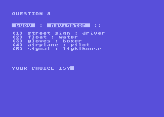
An AMOS based quiz game created by Mark Venn and released in 1991. Different versions of this game exist, some PD,...
Atari 800
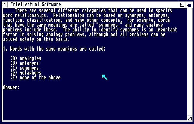
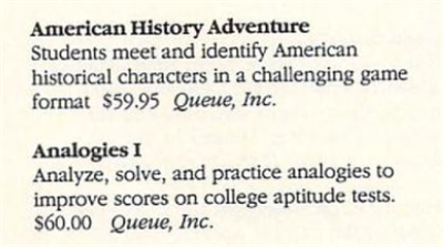
Analogies is an educational program for the Atari 8-Bit. It was developed and published by PDI, however the release...
The first in a duo of quiz\word games from Intellectual Software, this one released by Queue Inc in 1986. The games...
Community Rating: 2.50 Total Votes: 1
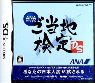
ANA Original: Gotouchi Kentei DS quizzes you on the 47 prefectures of Japan. It contains ~5000 trivia questions...
Apple II
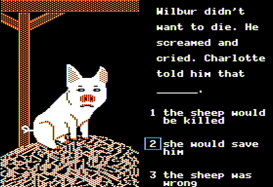
A Newbery Adventure: Charlotte's Web is a multiple choice educational adventure game for young adults. Based...
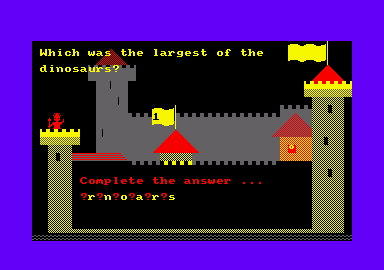
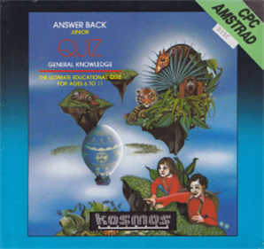
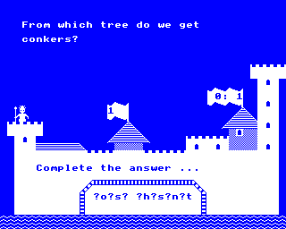
Answer Back Junior Quiz is a single player quiz program. This is the basic program and it allows the player to...
Community Rating: 2.75 Total Votes: 2
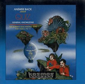
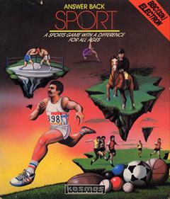
Answer Back: Junior Quiz is an Educational game, developed and published by Kosmos, which was released in 1990....
Acorn Electron
Community Rating: 2.75 Total Votes: 4
Community Rating: 3.00 Total Votes: 3
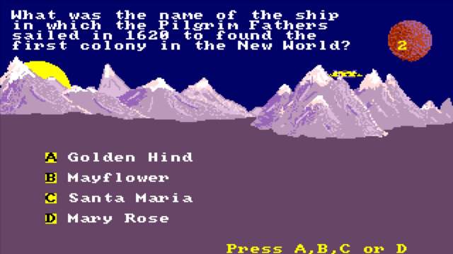
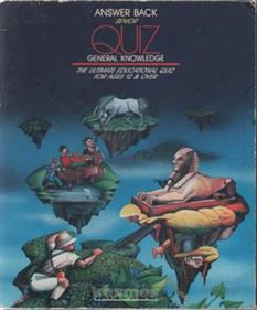
Answer Back: Senior Quiz is a Quiz game, developed and published by Kosmos, which was released in...
Community Rating: 2.60 Total Votes: 5
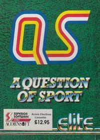
Challenge the KOSMOS team at football or tennis. But be warned, we don't lose easily. Whatever your sport this...
Community Rating: 5.00 Total Votes: 3
From the author: Elaborate quiz game with various interludes and 1000 questions. Up to four players can play....
Community Rating: 4.25 Total Votes: 4
This computer game is based on the popular adult board game. Three to ten people can play, any of which can be...
Community Rating: 2.00 Total Votes: 2
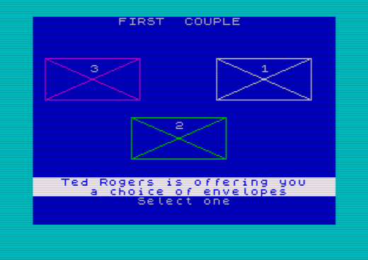
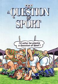
This is the game of the long running BBC quiz show of the same name. Two teams of three battle against each other...
Community Rating: 2.68 Total Votes: 11
An arcade quiz game based on the BBC game show of the same name. The game was developed and manufactured by BFM in...
Atari ST
Community Rating: None Total Votes: 1
BBC Microcomputer System
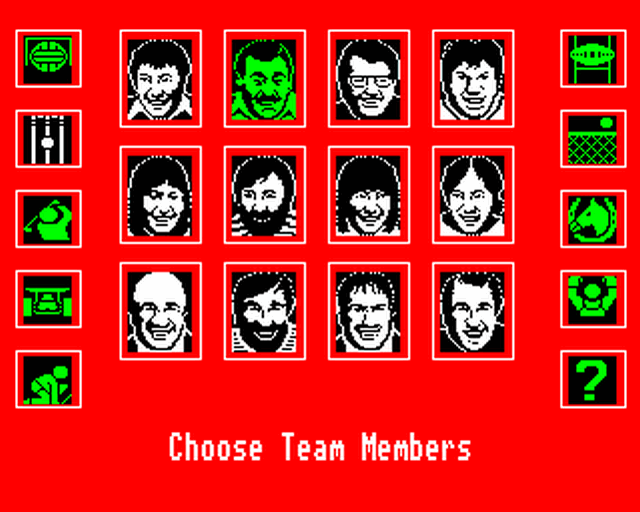
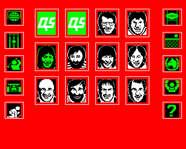
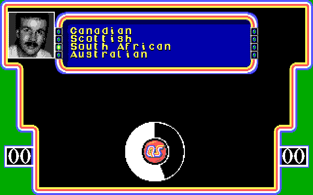
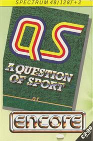
A Qusetion of Sport is a sports trivia game based on the long running BBC quiz show of the same name. It was...
Community Rating: 3.67 Total Votes: 3
Community Rating: 3.10 Total Votes: 5
Community Rating: 2.67 Total Votes: 8
Community Rating: 2.17 Total Votes: 3
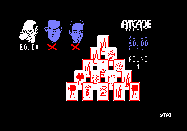
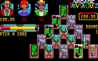
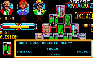
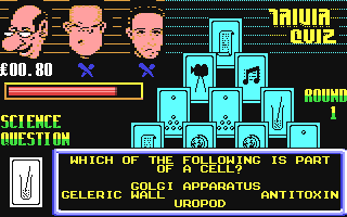
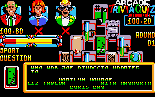
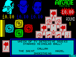
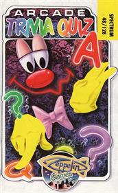
Arcade Trivia Quiz is a quiz game for 1, 2 or 3 players. There are four blocks of questions. Each block contains...
Community Rating: 4.00 Total Votes: 2
Community Rating: 2.50 Total Votes: 8
Community Rating: 3.00 Total Votes: 6
Community Rating: 2.62 Total Votes: 4
Community Rating: 4.43 Total Votes: 7
Community Rating: 4.00 Total Votes: 7
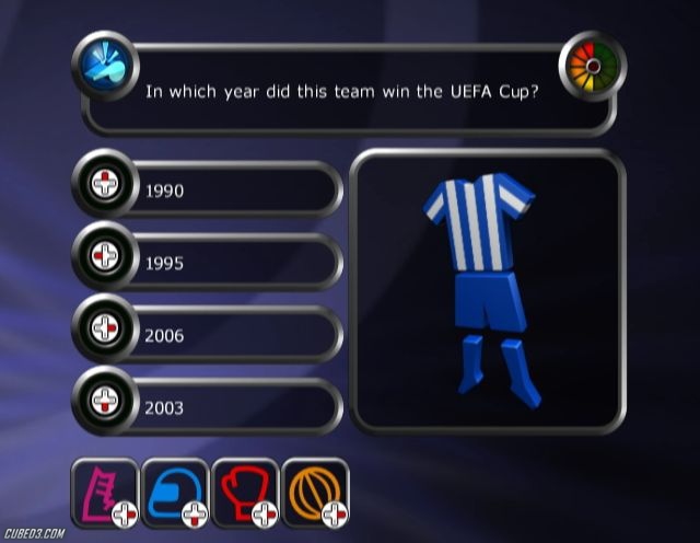
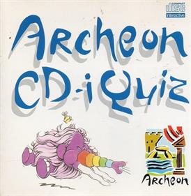
Archeon CD-i Quiz is a history pop quiz created in cooperation with an archeology themed park of the same name in...
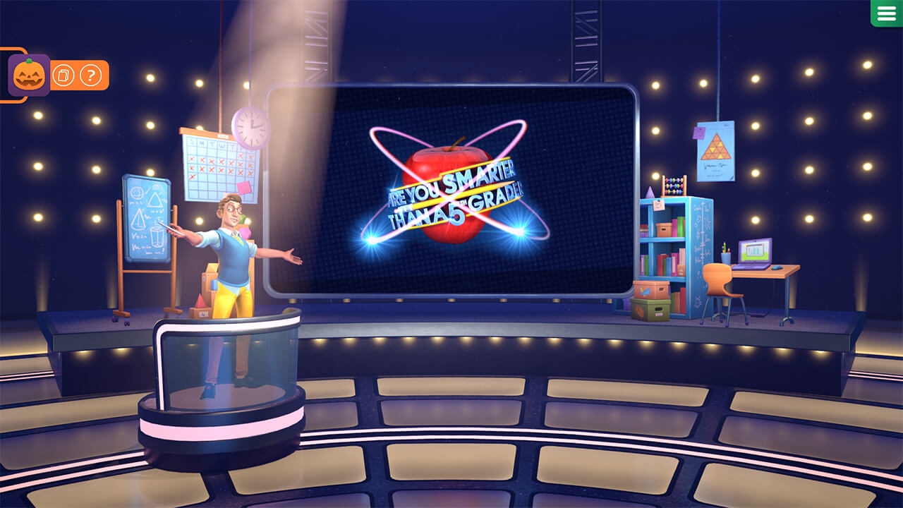
Are You Smarter Than a 5th Grader? is based off the Fox TV game show of the same name and features the voice and...
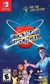
Nintendo Switch
Prove how much you still know from school in this charming couch co-op quiz game Are You Smarter Than A 5th...
Community Rating: 3.08 Total Votes: 6
Based on the popular TV franchise, this charming couch co-op quiz game for 1-8 players will have you face more than...